The city that outgrew its water in twelve years
Last revised August 2026. A long-read companion to the live dashboard and facts page. Dashboard - Facts
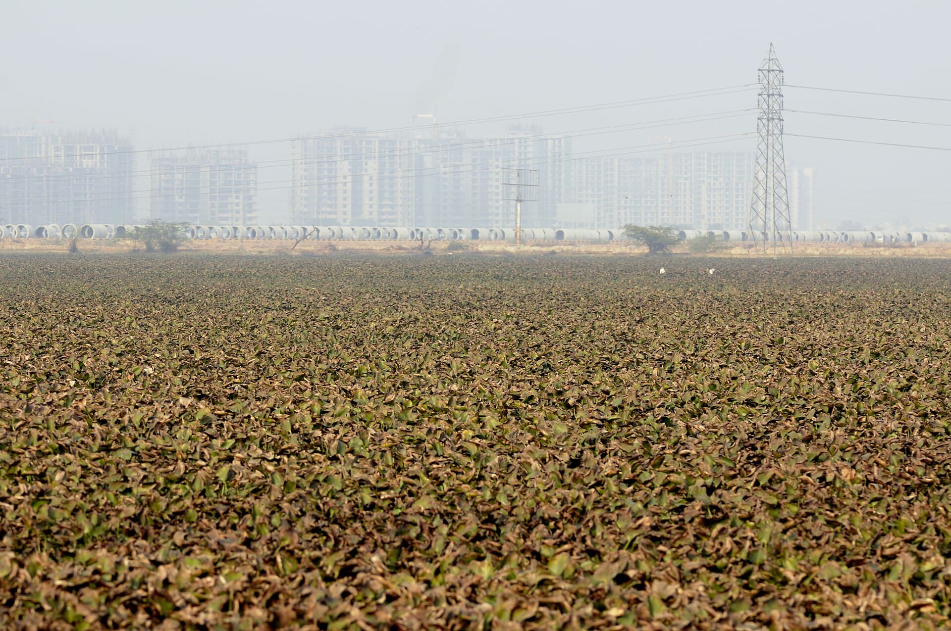
Gurugram has no river. It has no reservoir, no dam, and no water it impounds itself. What it has is a canal that brings the Yamuna across the plain, an aquifer it has been draining since before it was called Gurugram, and a market in tanker loads that covers the difference. In 1985 the municipal limit enclosed about twenty square kilometres. By 2020 it enclosed close to three hundred. The water did not scale with the boundary, and the arithmetic of that gap is the whole story.
A town on a seasonal river
Before the glass towers, Gurgaon was a district town on the Sahibi, drinking from village ponds and johads.
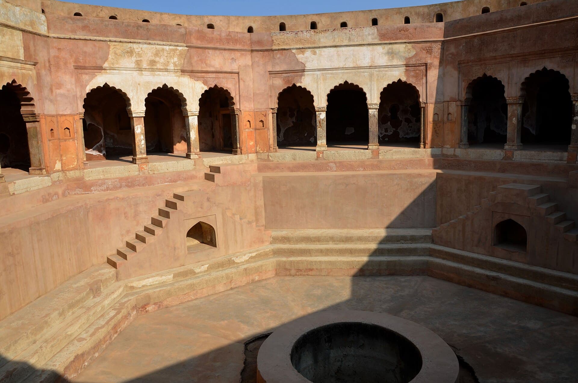
The Sahibi rises in the Aravalli in Rajasthan and runs north-east across Haryana toward the Yamuna. It is seasonal, and it has been dammed and diverted upstream for decades, so it now reaches Gurugram rarely and reaches Delhi as a drain. Around it, the older water system was small and local: village ponds, johads catching Aravalli runoff, and open wells.
That system is still legible in the revenue record. GMDA's own water-body register carries a flag for every body it can match to the 1956 record of rights, and 283 of the 824 bodies in the register match one. They are mostly not municipal property even now: 392 belong to gram panchayats and 208 are privately held, against 62 owned by the corporation.
In 1985 the municipal limit covered roughly 20 square kilometres. By 1996, after eleven years, it covered roughly 21. For practical purposes the town did not grow at all.
Twelve years, eight times the ground
Between 1996 and 2008 the municipal limit went from about 21 square kilometres to about 164. The Central Ground Water Authority declared Gurugram a dark zone in the same year that expansion finished.
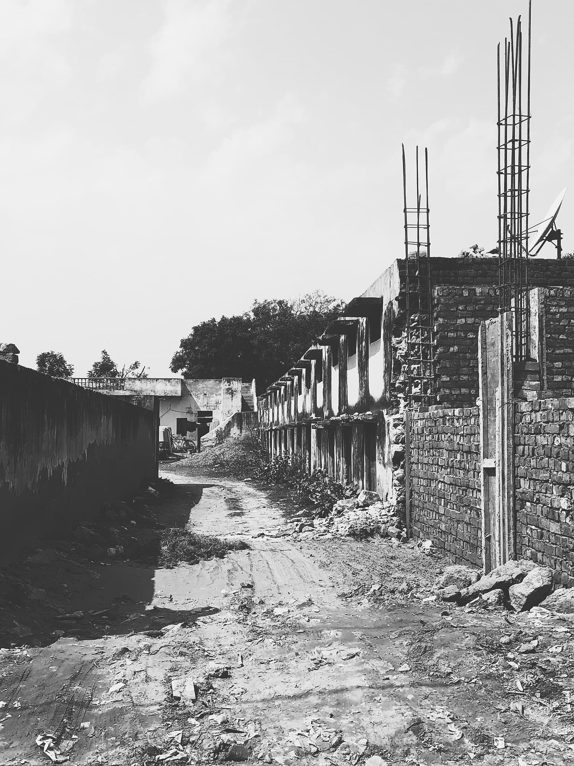
The boundary GMDA publishes for 2008 encloses roughly 164 square kilometres. The one it publishes for 1996 encloses roughly 21. In twelve years the city took in nearly eight times the ground it had held for the previous eleven. It kept going after that: about 204 square kilometres by 2010, 231 by 2015, 297 by 2020.
These areas are ours, not GMDA's. The authority publishes the dated boundaries; we measured what they enclose. The proportions are what matter and they are not in doubt.
“In 2008, the year the municipal limit finished growing eightfold, the Central Ground Water Authority declared Gurugram a dark zone.”
The two facts belong together. A dark-zone notification is a statement that extraction has passed what the aquifer replaces, and it arrived exactly as the city finished drawing the lines it intended to build inside. What followed was construction on that new ground, and the water for it came from below.
Three times what comes back
Every one of the district's five assessment blocks is over-exploited. The built city is the worst of them.
The current picture comes from IN-GRES, the official CGWB and state assessment. In 2024-25 Gurugram district extracted 194.59% of its annual recharge. That is the number that circulates in write-ups about the city as "about 195 percent", usually with nothing behind it; this is where it comes from.
Broken into blocks it is worse and more specific. The built city, which the assessment calls Gurgaon Urban, stands at 326.26%. Pataudi is at 168.48, Sohna at 156.86, Farrukh Nagar at 143.39, and rural Gurgaon at 106.91. All five are over-exploited. Haryana as a whole is at 136.75.
The neighbours are what make it legible as a local failure rather than a regional condition. Rewari and Faridabad are also over-exploited and Palwal is critical, but Nuh is only semi-critical and Jhajjar, immediately north-west, is safe. The same aquifer system, the same rainfall, a different amount of city on top of it.
What the platform cannot show is how deep the water actually is. The India-WRIS level record for this district covers 37 stations and stops in June 2020, and Haryana's telemetry network does not include Gurugram at all. For a city whose defining problem is groundwater, nobody is publishing a current measured depth.
What happened to the ponds
Most of Gurugram's water bodies are outside the corporation that would be blamed for them.
GMDA maintains a register of 824 water bodies, built for the National Green Tribunal, covering about 2,851 acres. It carries the authority's own cross-survey attribution: for each body, whether it appears in the 1956 record of rights, the 1976 Survey of India sheets, 2012 satellite imagery, drone survey and Google Earth.
Of the 283 bodies traceable to a 1956 revenue plot, 29 are absent from the 2012 satellite pass. That is a floor rather than a total, because a pond that vanished before 2012 would not be a row in a 2012-derived register at all.
The raw counts across the three vintages are 640 for 1956, 519 for 1976 and 824 for 2012, and they must not be read as a series. The number goes up at the end because three survey methods have three inclusion criteria, and a satellite pass picks up construction pits and seasonal water that a revenue clerk never listed.
“Only 163 of the 824 water bodies sit inside the municipal corporation's boundary. 454 sit inside GMDA's wider metropolitan area.”
That split matters for who answers for them. The corporation people petition is responsible for a fifth of the register.
The market in the gap
For three years GMDA published every tanker load it sold, and the record shows a city quietly moving off drinking water.
Gurugram is one of very few Indian cities where the authority sells bulk water by the tanker and published the transaction log. For 2019, 2020 and 2021 GMDA put out a booking record covering 29,284 loads and 1.72 billion litres, worth about Rs 8.72 crore. It names the buyers, and they are almost entirely developers, contractors and industry: DLF, Shapoorji Pallonji, Tata Projects, Godrej, Candor, Lenskart, Honeywell.
It sold three grades at three prices, and the prices did not move across the three years: drinking water at Rs 70.50 a kilolitre, recycled water at Rs 30, and treated effluent from the common effluent plant at Rs 8. Drinking water cost nearly nine times what the treated alternative cost.
The volume falls across the three years, from 12,337 loads to 7,208, and that should not be read as falling dependence: this is a construction-driven market and 2020 and 2021 were COVID years. What does survive is the mix, because it is a ratio inside the same disrupted period. The non-potable share of every litre GMDA sold went from 29.7% in 2019 to 42.2% in 2020 to 51.2% in 2021. Potable volume fell by roughly two thirds while treated and recycled volume held flat.
Over three years, in a dark-zone city, the authority moved the majority of its bulk tanker water off the drinking supply and onto treated effluent. The series stops after 2021.
Gurugram is Delhi's problem too
What the city does not drink leaves north, into the Najafgarh jheel and then into the Yamuna.
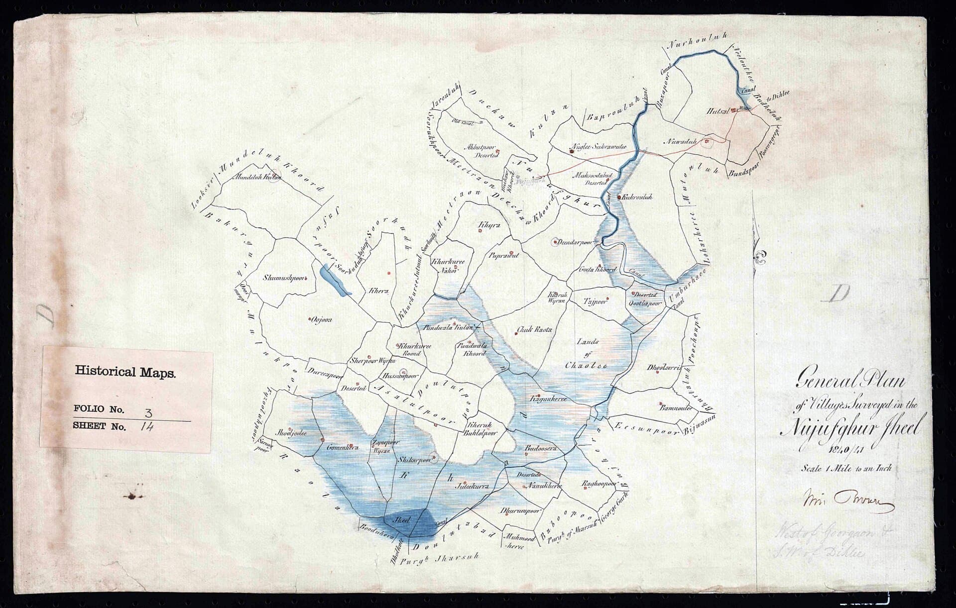
Gurugram's treated and untreated flow leaves the city northward toward the Najafgarh jheel, a transboundary wetland on the Delhi-Haryana line, and from there into the Najafgarh drain, which is the single largest contributor of pollution to the Yamuna in Delhi. The drain is the Sahibi, under another name.
The jheel has been awaiting formal wetland notification for over a decade while the two states disagree about the land, and the National Green Tribunal has directed both to implement a joint management plan. Gurugram sits upstream of all of it.
On the treatment side, the state pollution board lists 18 sewage treatment plants in the district, from GMDA's large Dhanwapur and Behrampur units down to seven one-megalitre village plants commissioned in February 2021. Their combined output is the water the tanker market has been quietly substituting in.