From 827 wells inside its walls to a dam 120 kilometres away
Last revised October 2026. A long-read companion to the live dashboard and facts page. Dashboard - Facts
Jaipur sits among dry hills, with about 600 millimetres of rain in a normal year, two-thirds of it in July and August. For three centuries it has reached further out for its water. The planned city of the 1720s drank from wells inside its walls. From 1874 it pumped the Amanishah, a river to the west that now carries storm water and sewage. Later it turned to Ramgarh, a reservoir in the hills that on 8 October 2026 held nothing. Today 590 of the 766.73 million litres a day that the state's Public Health Engineering Department (PHED) supplies to the city come from Bisalpur, a dam on the Banas about 120 kilometres away.
The oldest source never went away. Under the city, the Central Ground Water Board's latest assessment finds about three and a half times as much groundwater being drawn each year as can safely be taken.
A capital in the hills
Before Jaipur there was Amer, a hill capital with a lake below its palace, and on the road down from it a lake that may be older than the city.
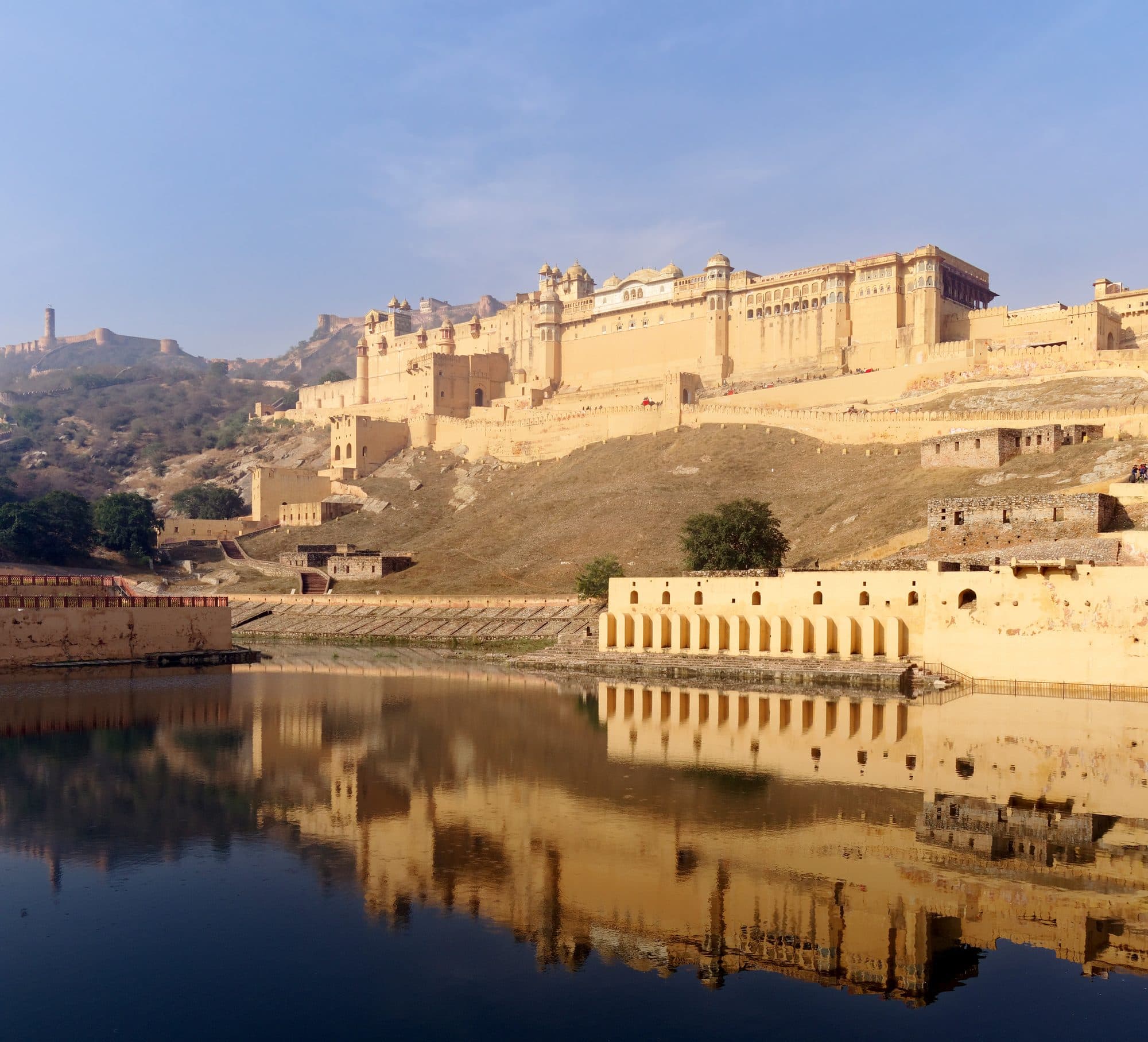
For nearly six centuries, says the Imperial Gazetteer of 1908, the Kachwaha rulers had their capital at Amber, now Amer, in the hills north of today's city. Below the palace lies the Maota lake. The first national census of water bodies, for 2017-18, lists it as a tank of 10.89 hectares and records it as not in use that year.
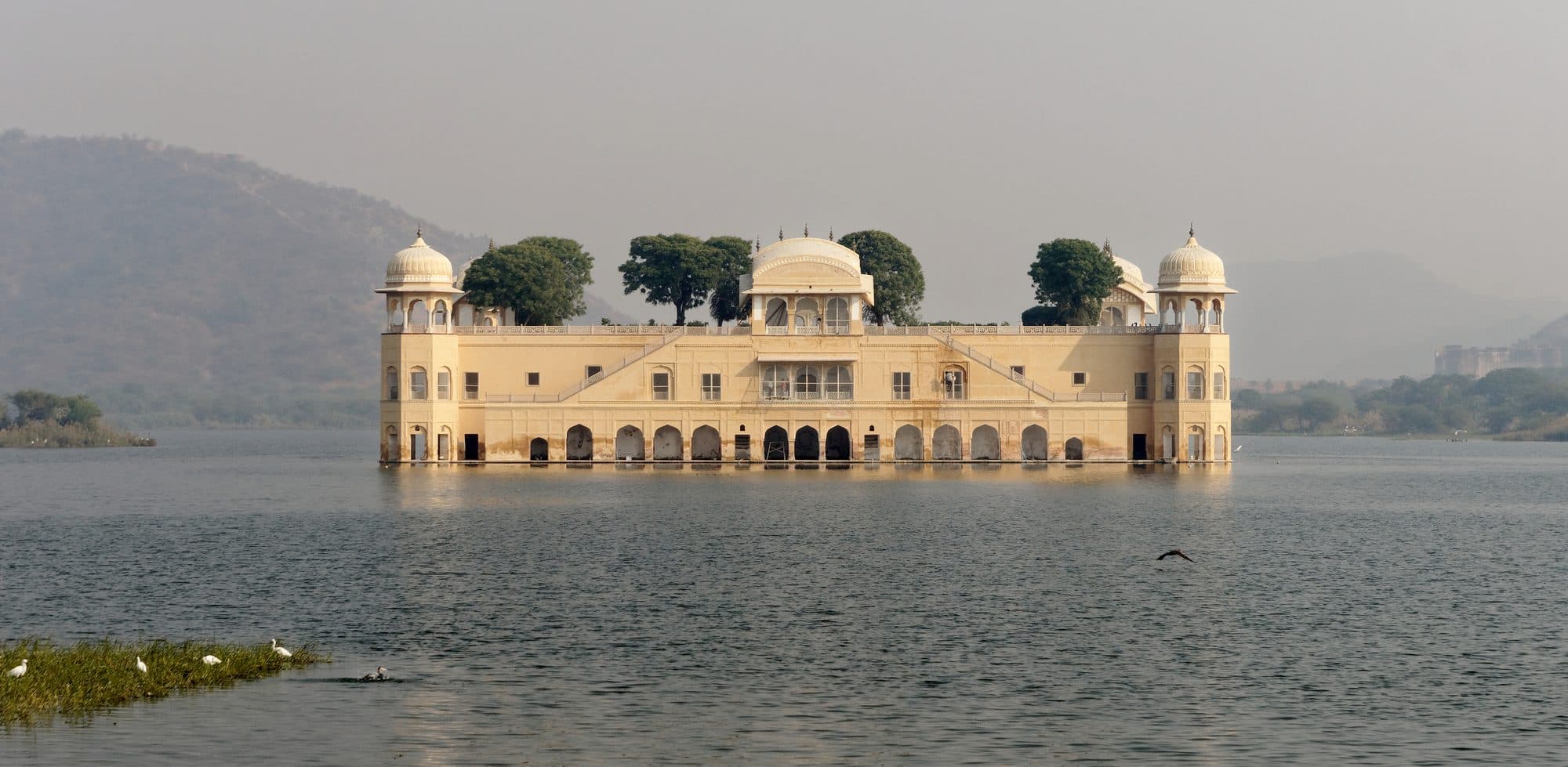
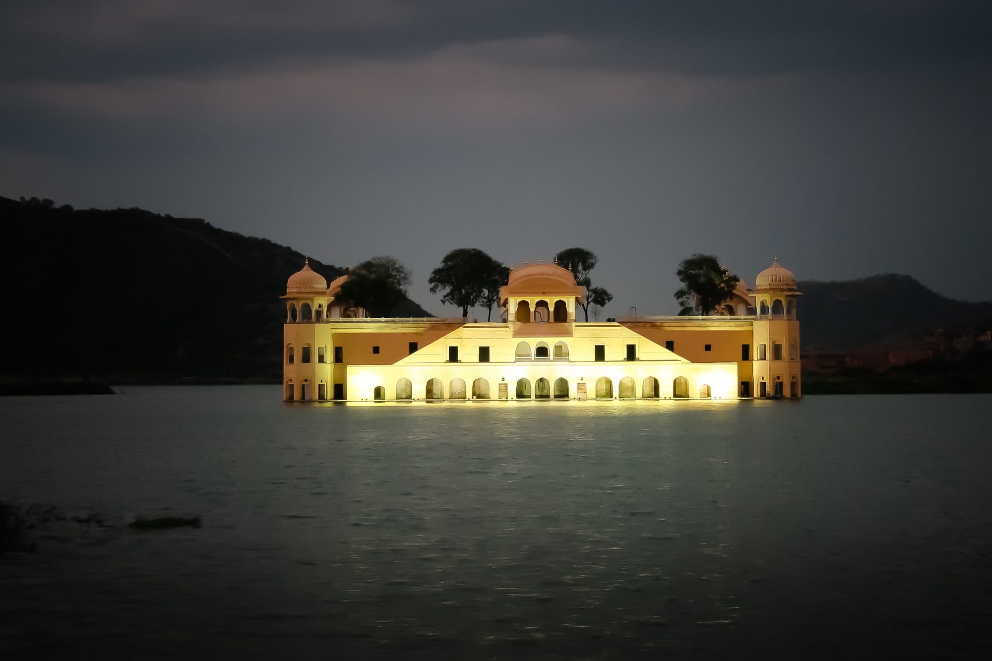
On the road down from Amer lies a second lake, Man Sagar. In the Supreme Court's 2014 judgment on the lake, the developer's side says Man Singh of Amer, who ruled from 1589 to 1614, built its dam “much earlier than Jaipur was founded”. That is one party's account, not a finding, and we found no year for the dam. The judgment's account of the background dates the pavilion in the lake, Jal Mahal, only to “the 18th century”; later accounts disagree on the ruler and the decade.
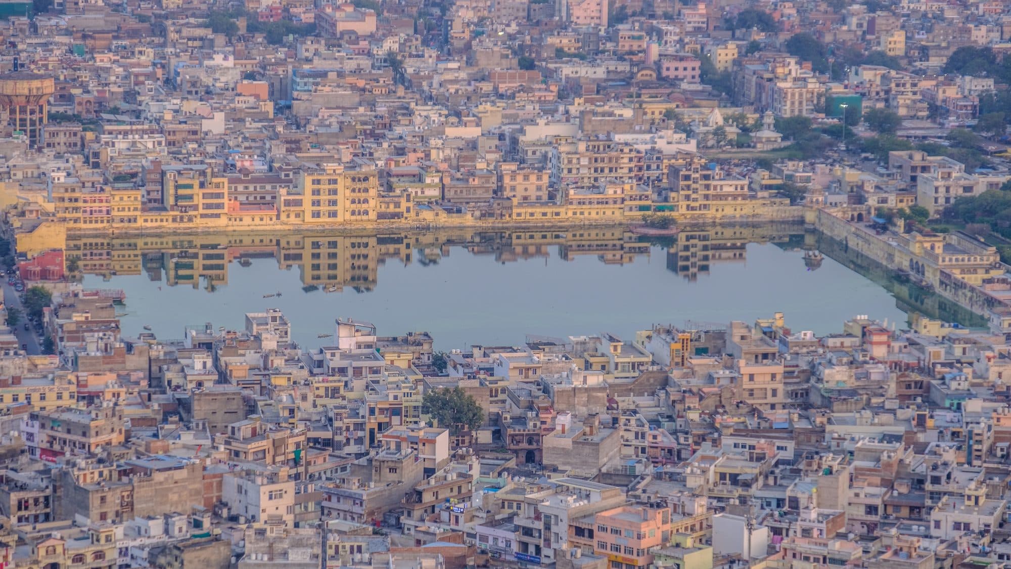
In 1895 T. H. Hendley, for twenty years the surgeon at the Jaipur Residency, wrote that storm water on the north of the city ran into the palace tanks or into “a small river, connected with them, which conveys it into the Man-Sagar Lake”.
The planned city and its wells
The new city stood on a plain the Gazetteer thought was the bed of a dried-up lake. It kept tanks beside its palace and drank from its wells.
Sawai Jai Singh II, who succeeded at Amer in 1699, moved his capital down to the plain. The Imperial Gazetteer dates the new city to 1728; many later accounts give 1727, and we could not reach the official file that might settle it. The Gazetteer describes the ground: the city “stands on a small plain conjectured to be the bed of a dried-up lake”.
Water was kept close to the palace. “To the north of the palace is the Tal Katora tank, enclosed by a masonry wall,” the Gazetteer says, “and beyond it again is the Raja Mal-ka-talao, about 100 acres in area and stocked with crocodiles.”
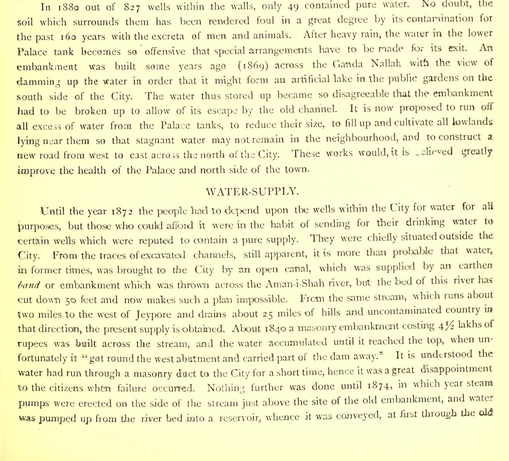
Drinking water came from wells. Until the 1870s, Hendley wrote, people relied on the wells inside the city, “but those who could afford it were in the habit of sending for their drinking water to certain wells which were reputed to contain a pure supply”, mostly outside the walls. He also saw traces of old channels and thought it “more than probable” that water had once come by an open canal from an embankment across the Amanishah river; by his time the river had cut its bed 50 feet deeper. He gives no builder or date, and we have found none.
The wells inside the walls did not stay clean. Hendley put it down to the ground around them, fouled “for the past 160 years with the excreta of men and animals”.
“In 1880 out of 827 wells within the walls, only 49 contained pure water.”
Steam pumps on the Amanishah
After a dam on the river to the west gave way around 1840, the state pumped its water to the city from 1874 and piped it from December 1875.
The Amanishah, Hendley wrote, “runs about two miles to the west of Jeypore and drains about 25 miles of hills and uncontaminated country”. About 1840 a masonry dam costing four and a half lakh rupees was built across it. When the water reached the top it “got round the west abutment and carried part of the dam away”.
Nothing more was done until 1874, when steam pumps were set up just above the old dam site. The water went to the city at first through the old masonry duct and, from December 1875, by pipes. Objections, Hendley says, were met “by the approval, in the first place of a committee of priests, pundits, &c., appointed by the Maharaja, and in the end, by the self-interest and convenience of the people”.
The state's engineer, Colonel Jacob, later built an earthen bund about 500 feet above the pumps, making “a lake a couple of miles long”. In 1892 the city used 897,884 gallons a day, a little over five and a half gallons for each of the 158,787 people counted in 1891, and piped water reached, at least in part, seven of its wards.
The Imperial Gazetteer of 1908 describes engines lifting the water 109 feet into covered reservoirs and sending it through the city “in iron pipes under 50 feet pressure”. Jaipur had a municipality from 1868, but the waterworks were the state's: Maharaja Ram Singh, who died in 1880, gave his capital “the benefits of gas and water-works”, and the state's Public Works department ran them. The state's engineers ran the water then; the state's PHED supplies it now.
Ramgarh: a dam for fields, then for the city
At the start of the twentieth century the state built its most important irrigation reservoir in the hills to the north-east. From 1978 its water went to Jaipur's taps.
The next source lay in the hills to the north-east. The Gazetteer of 1908 describes a dam 80 feet high on the Banganga near Gopalgarh, forming “the Ramgarh reservoir, the most important irrigation work in the Jaipur State”. Full, it covered six square miles and could hold up to 3,000 million cubic feet of water, about 85 million cubic metres.
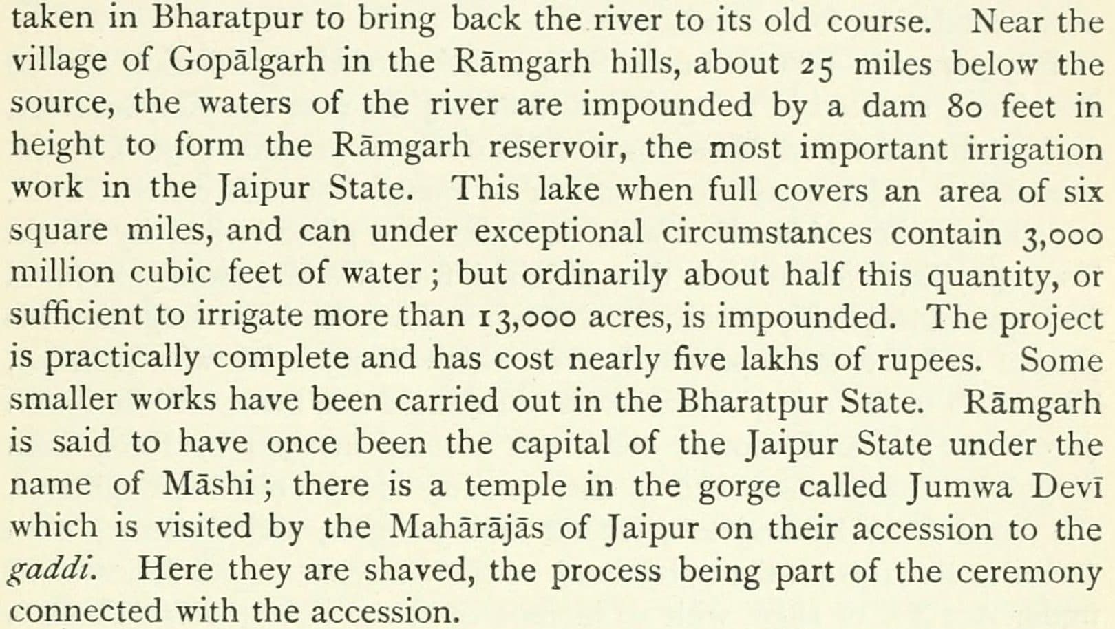
When it was finished depends on the document: 1901 in the Central Water Commission's register of large dams, 1903 in a 2017 Supreme Court judgment. The court gives it a catchment of about 769 square kilometres across four tehsils, Jamwa Ramgarh, Amer, Shahpura and Viratnagar, and says its water was “till 1978, a source of irrigation. Thereafter, it became a source of drinking water” for Jaipur. In 1982 the Asian Games held their water sports on the lake.
A lake that stopped filling
Ramgarh's catchment was built over, the water stopped coming, and for more than twenty years the courts have been asking for the catchment back.
In the early 2000s it gave the city little. When the Japan International Cooperation Agency (JICA) appraised a new supply project in 2003, 97% of the city's 345 million litres a day came from groundwater. Ramgarh, “the sole source of surface water”, gave 10 to 15 million litres a day against an expected 72.
The courts had begun to ask why. In July 2003 the Rajasthan High Court, on a public interest petition, ordered a survey of catchment land used “for construction and mining purposes”. In 2011 it opened a case of its own and asked the state for a plan to remove encroachments “so as to restore the position as was existing on 15.08.1947”. Its monitoring committee reported that Ramgarh “had become dry due to encroachments and obstructions”. In January 2013 a state technical committee reported on “Less/no inflow in Ramgarh Dam (District Jaipur) Despite Average and Above Average Rainfall”.
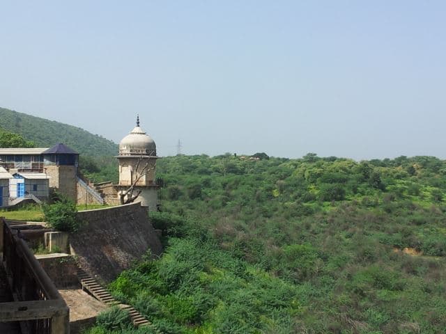
In November 2017 the Supreme Court asked whether the lake held any water and was told it was “still bone dry”. It dismissed a university's petitions over buildings in the catchment, with costs of Rs 10 lakh each, and ordered the construction removed.
The case is still open. On 30 July 2026 the High Court directed the state's Water Resources Department to remove the anicuts, small check dams, that stand in the way of the flow to the lake. On 13 August it had the district collector's list of encroachers in the catchment published in two newspapers, as notice. We have not found the order from its next hearing, on 15 September. On 8 October 2026 the department's daily report showed Ramgarh holding nothing of its 75.04 million cubic metres. It held nothing on the same day a year earlier, when the state's dams overall were 90% full.
Water from the Banas, 120 kilometres away
By 2012 most of Jaipur's water came by pipeline from a dam in Tonk district, brought in with two foreign loans. The dam is shared with Ajmer.
The water that took Ramgarh's place comes from the south-west. Bisalpur dam, on the Banas in Tonk district, was completed in 1999, according to the Central Water Commission's register, and holds up to 1,095.84 million cubic metres. JICA puts it about 120 kilometres from the city.
The Asian Development Bank financed the main line from the dam, an addition estimated at $120 million to an urban project it was already funding in Rajasthan. JICA lent for the transfer system into the city: its loan was signed in March 2004, PHED built the works, and the city packages were handed over between July and December 2010. We have not found an official record of the day Bisalpur water first reached Jaipur's taps.
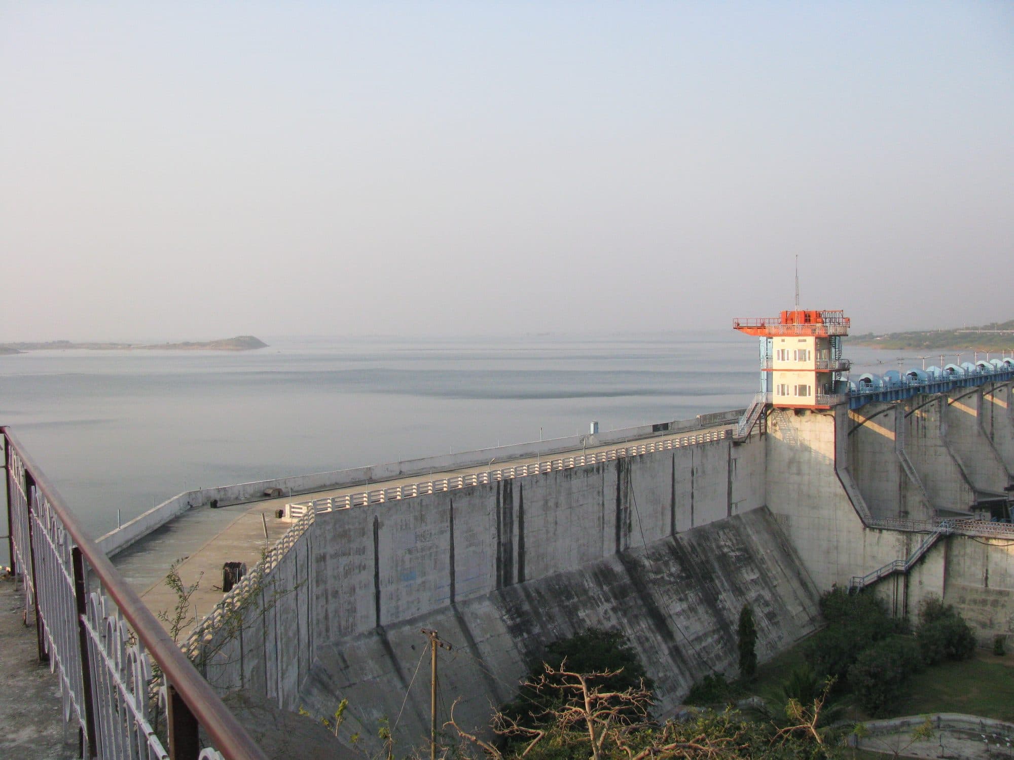
JICA's figures show the change. Groundwater, 97% of the city's supply in 2003, was 19% in 2012. The volume from Bisalpur kept growing. On 31 December 2025, PHED's annual report gives the city 766.73 million litres a day (MLD): 590 from Bisalpur and 176 from 3,633 PHED tube wells. A year earlier it was 668.09 MLD, with 492.08 from Bisalpur.
The dam is shared. A 2020 draft study by the state's Water Resources Department describes 11.1 thousand million cubic feet a year (about 314 million cubic metres) for Jaipur and the villages along its pipeline, 5.1 for Ajmer and its route, and about 8 for irrigation. We have not found an order that fixes those shares. On 8 October 2026 Bisalpur was 71.31% full; a year earlier it was full.
“The earlier source of surface water was Ramgarh lake, which has been dried up and now surface water is transferred through pipe line from Bisalpur Dam on Banas River located about 120 km. from Jaipur.”
A lake that took the sewage, a river that became a drain
In 1962 the walled city's sewage was turned into the lake on the Amer road, and the river that fed the first pipes now carries storm water and sewage.
The Supreme Court's 2014 judgment records that in 1962 the walled city's two main sewage drains, Nagtalai and Brahmapuri, were turned into Man Sagar; by the petitioners' account, water hyacinth arrived in 1975. A restoration under the National Lake Conservation Plan, estimated at Rs 24.72 crore with 70% from the Government of India, was approved in 2002 and carried out by the JDA, the Jaipur Development Authority. In 2005, 100 acres of the lake precinct were leased to a private company for 99 years. The High Court declared the lease void in 2012. In 2014 the Supreme Court cut it to 30 years, returned 8.65 acres to the lake and kept 14.15 acres as a public promenade where nothing may be built.
In February 2025 the Supreme Court directed that NEERI, the National Environmental Engineering Research Institute, study the lake, and held back development there under a state plan until it reports. We have found no later order or report.
The river that first fed the pipes is still there. In 1895 Hendley described the Ganda Nallah, which “leaves the City below the South Wall, and then runs on to join the Aman-i-Shah River”. In 2017 the JDA, seeking environmental clearance to rebuild the channel, described what had become of it.
“Dravyavati River was the active river of Jaipur which, over the time turned into a Nallah (Amanisha Nallah) due to rapid urbanization & industrialization on both side of the river.”
In the JDA's description the channel runs 47.5 kilometres from the Nahargarh hills, takes storm and waste water from the walled city through the same Ganda Nallah, and ends in the Dhund river. The JDA contracted its rebuilding on 18 March 2016, for Rs 1,470.85 crore plus Rs 206.08 crore for ten years of upkeep, with 170 MLD of sewage treatment planned, and issued a commissioning certificate on 9 December 2022. In December 2024 the High Court recorded that no work had been done in the submergence areas of three dams on the river, and asked for yearly reports on its upkeep.
A dam far away, and an aquifer below
Jaipur now drinks mostly from a river it does not stand on, and draws far more from the ground beneath it than the rain puts back.
In most of the roughly 400 zones in PHED's 2024 supply schedule, piped water comes for about an hour a day. In summer it is topped up by road: at the June 2025 peak PHED ran 230 tankers a day in the city, making 1,283 trips.
Under the city, the water table has fallen a long way. At the Central Ground Water Board's piezometer at Durgapura, water stood 19.5 metres below the ground in May 1995, 62.8 metres in May 2010 and 55.7 metres in May 2023. In the board's latest assessment (IN-GRES, 2025-26), the city's own unit, Jaipur Urban, draws 349.88% of the groundwater that can safely be taken out each year; the printed 2025 report put it at 328.41%. In that report all 16 assessment units in Jaipur district were over-exploited.
The city that once drank from 827 wells inside its walls now drinks from a dam 120 kilometres away, and pumps the ground beneath it at more than three times what the official count says it can safely give.